
 Image 1 of 2
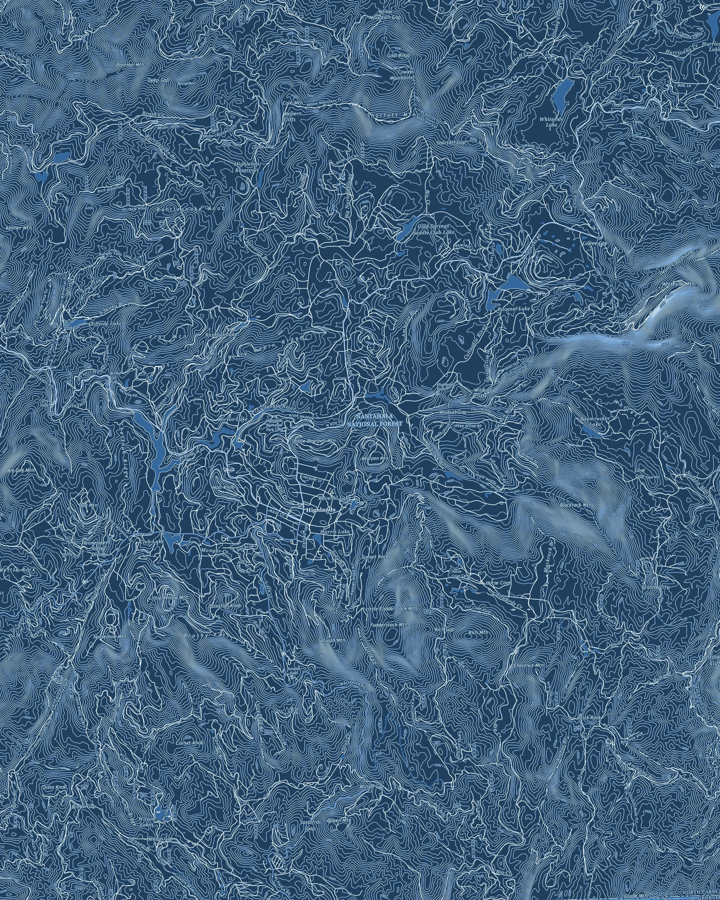 Image 2 of 2
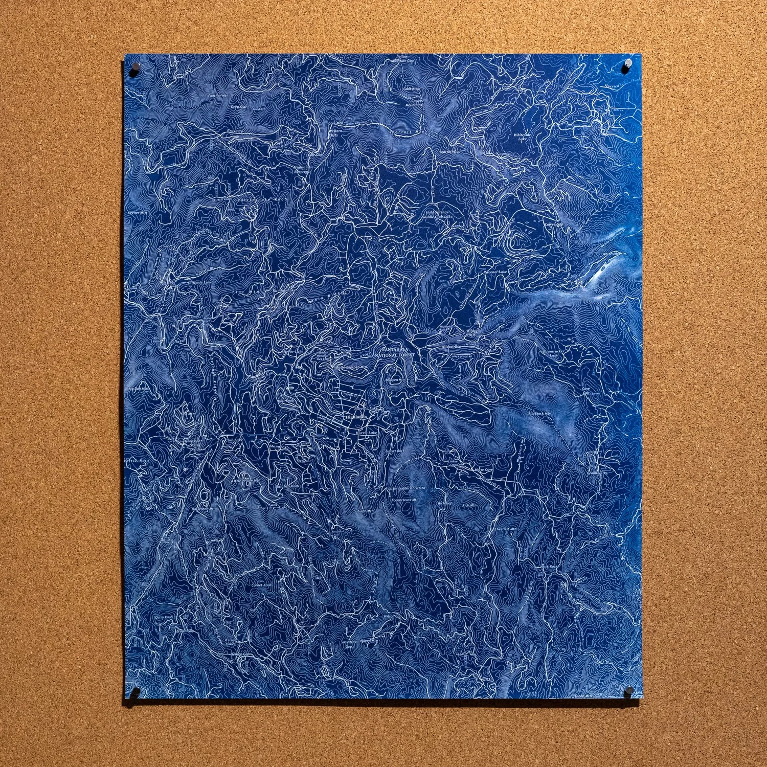
A BRBP original that highlights the waterways found around the town of Highlands, NC. Details include the Nantahala National Forest, street names, and several creeks and hamlets along with topographic data. The area covered by the map begins with Yellow Mountain Gap at the northern edge, Whiteside Mountain to the east, the Georgia border along the south and Big Dog Mountain along the west. Each print is hand-coated and created using the cyanotype process on archival watercolor paper. Available in 20” x 16” and 14” x 11” sizes.
A BRBP original that highlights the waterways found around the town of Highlands, NC. Details include the Nantahala National Forest, street names, and several creeks and hamlets along with topographic data. The area covered by the map begins with Yellow Mountain Gap at the northern edge, Whiteside Mountain to the east, the Georgia border along the south and Big Dog Mountain along the west. Each print is hand-coated and created using the cyanotype process on archival watercolor paper. Available in 20” x 16” and 14” x 11” sizes.