

 Image 1 of 5
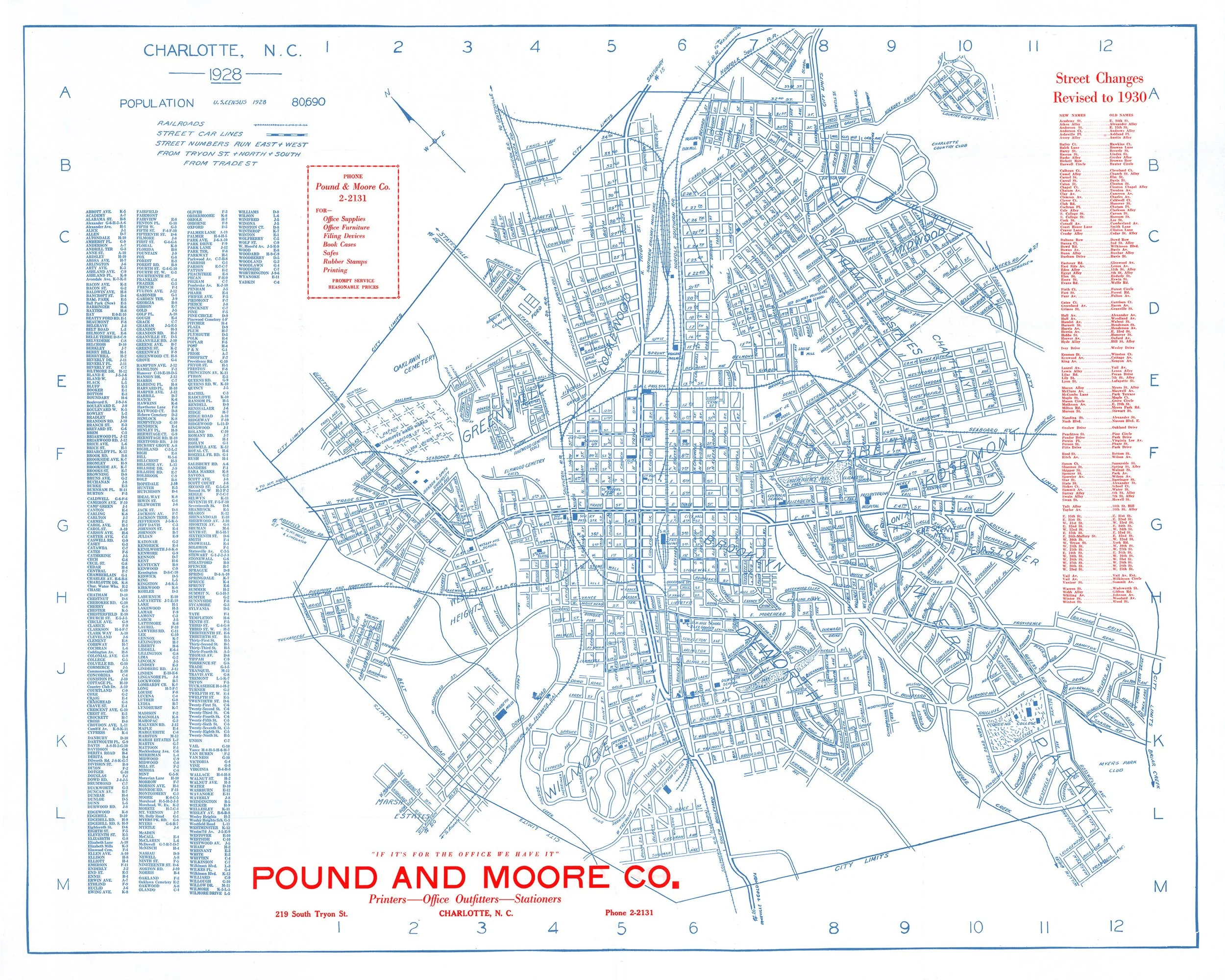 Image 2 of 5
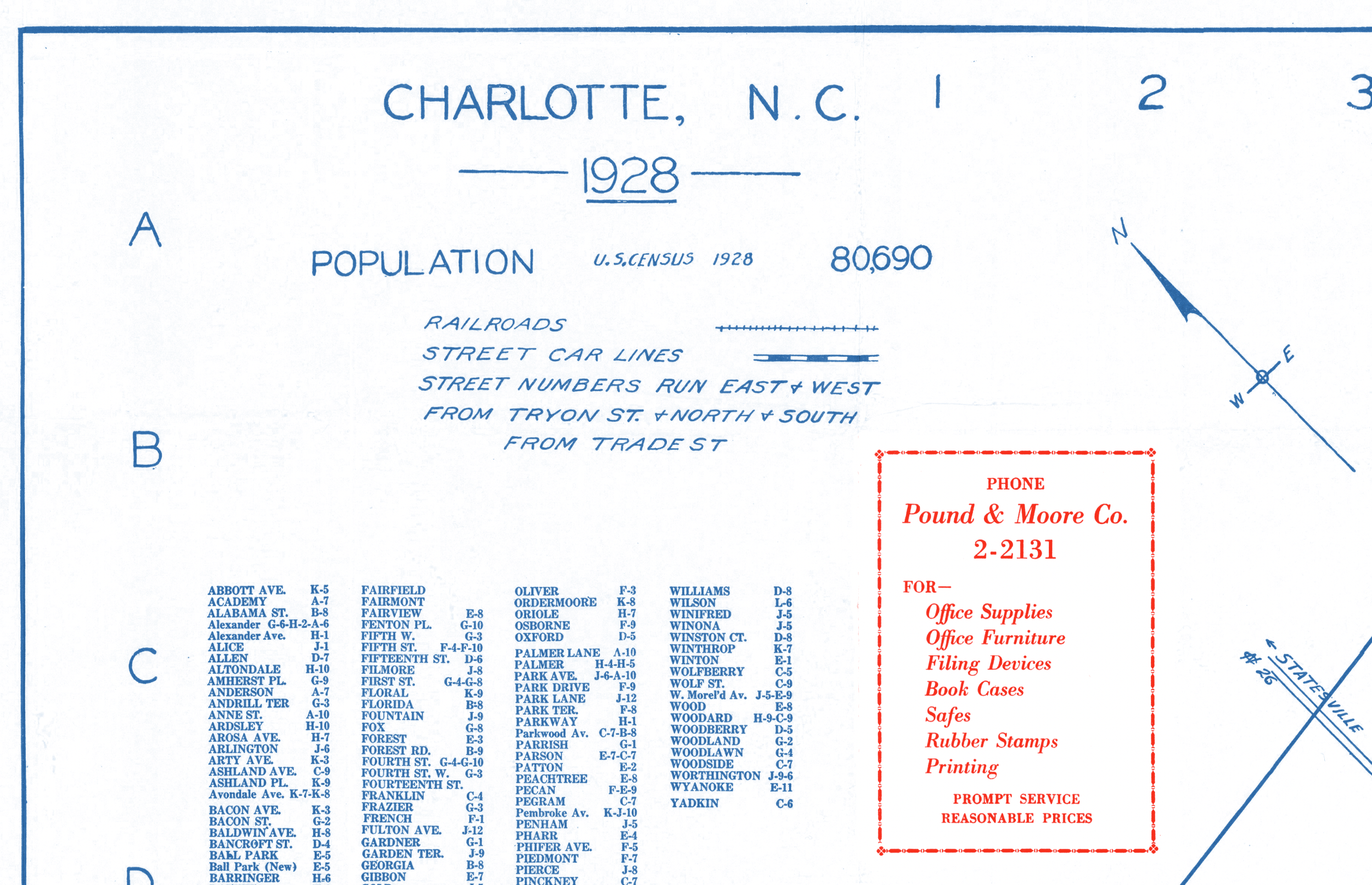 Image 3 of 5
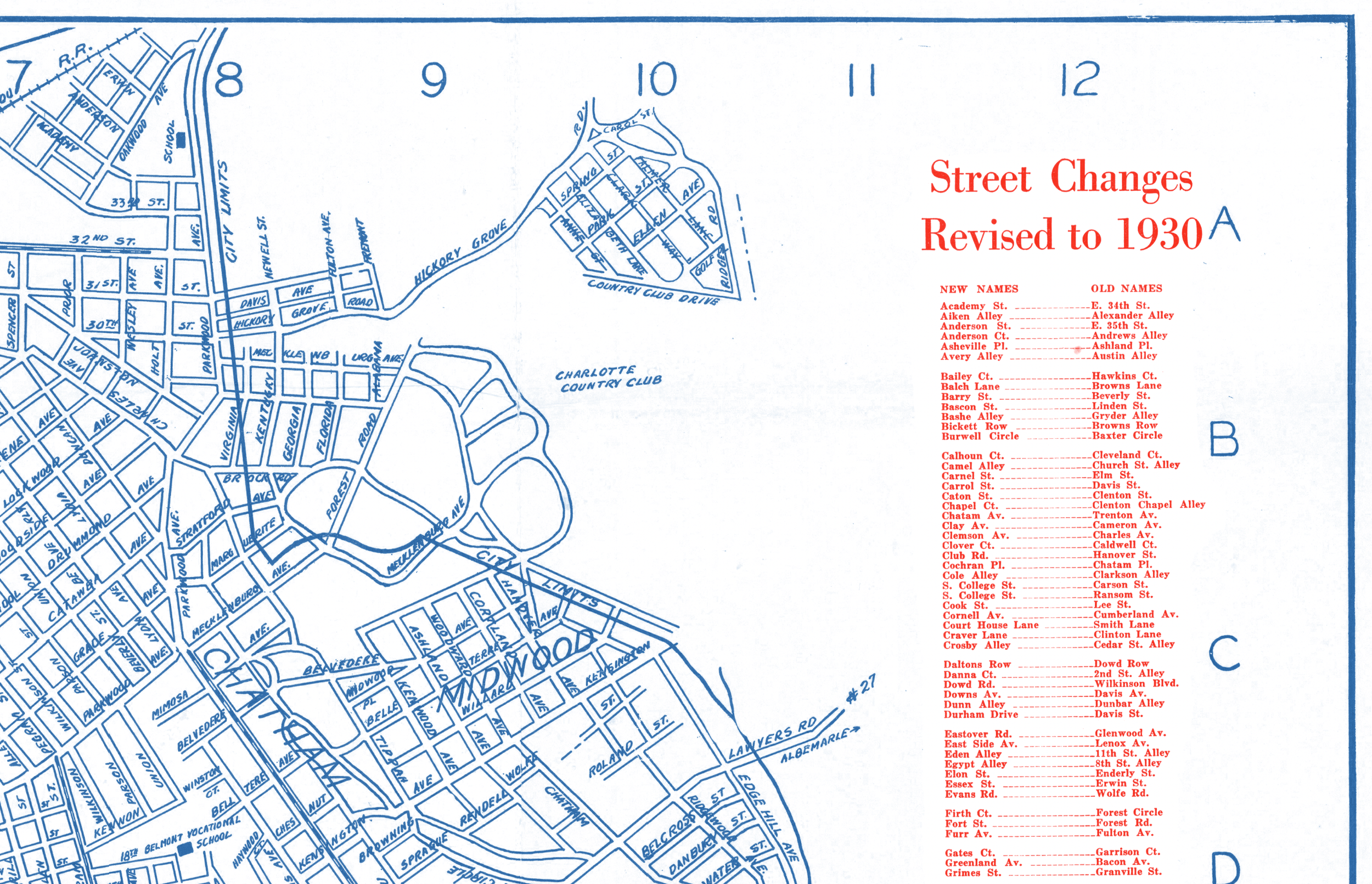 Image 4 of 5
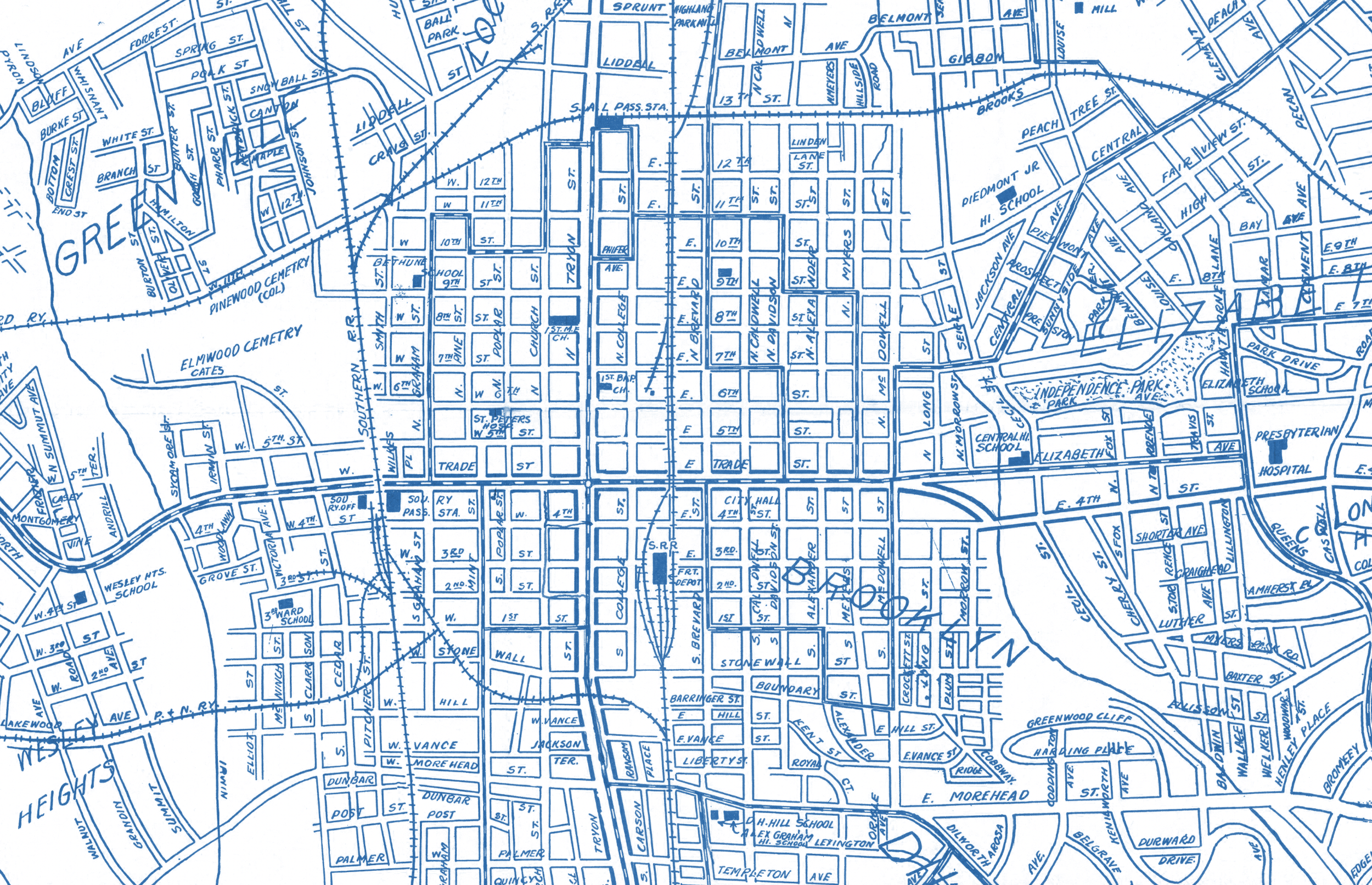 Image 5 of 5
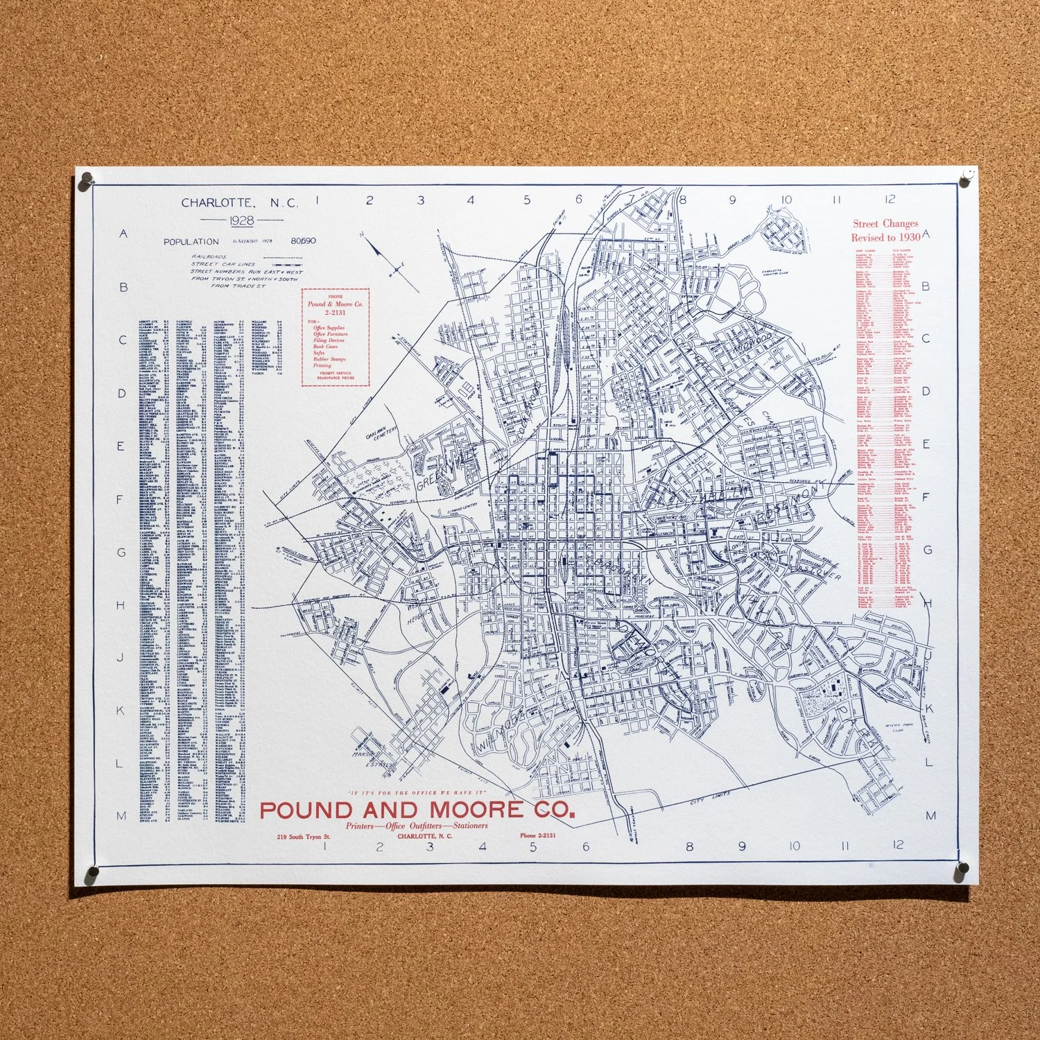
This historic reproduction map of Charlotte, North Carolina was issued in 1928 by the Pound and Moore office supply company in 1928. The map illustrates railroads, street car lines, public buildings, parks, hospitals, etc.. with Queens College (Queens University of Charlotte) appearing at the far lower right and Charlotte Water Works at the far left.
This map not only shows the historic neighborhoods of Charlotte, as well as many original street names, but also highlights the result of Charlotte's massive growth following World War I—the population in 1900 was 18,091. By 1930, it was 82,675.
Each print is hand-coated and printed using the cyanotype (blue) and pigment ink (red) processes on archival watercolor paper. Available in 20” x 16” only.
This historic reproduction map of Charlotte, North Carolina was issued in 1928 by the Pound and Moore office supply company in 1928. The map illustrates railroads, street car lines, public buildings, parks, hospitals, etc.. with Queens College (Queens University of Charlotte) appearing at the far lower right and Charlotte Water Works at the far left.
This map not only shows the historic neighborhoods of Charlotte, as well as many original street names, but also highlights the result of Charlotte's massive growth following World War I—the population in 1900 was 18,091. By 1930, it was 82,675.
Each print is hand-coated and printed using the cyanotype (blue) and pigment ink (red) processes on archival watercolor paper. Available in 20” x 16” only.