
 Image 1 of 2
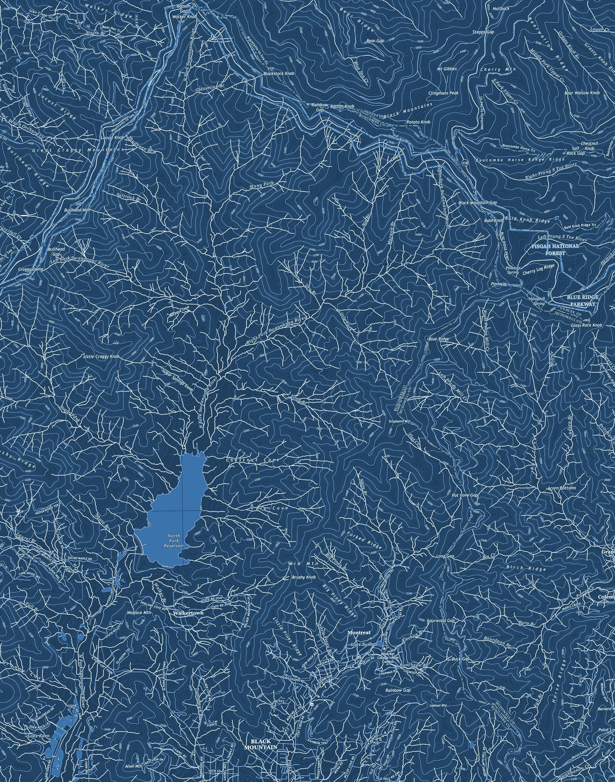 Image 2 of 2
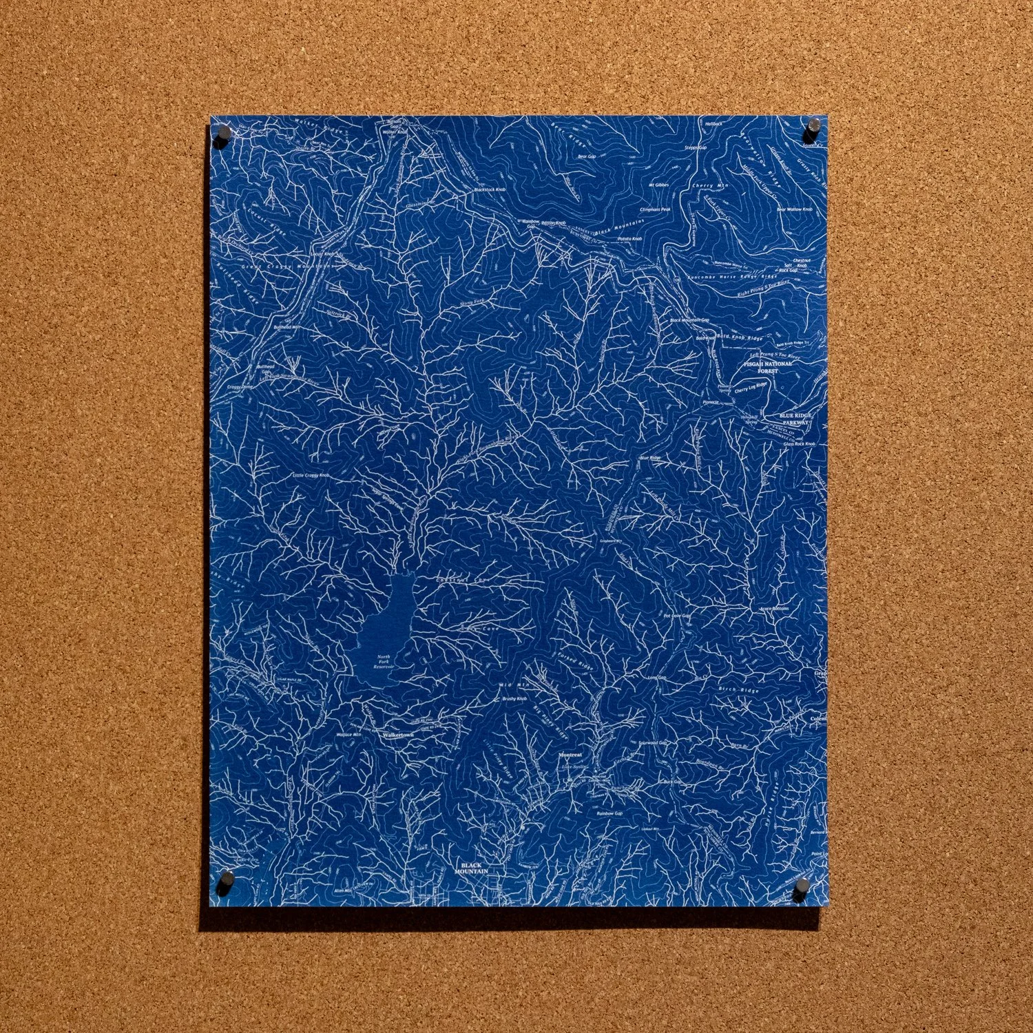
A BRBP original that highlights the waterways found in the Black Mountains and Pisgah National Forest between the town of Black Mountain, NC along the South and the Blue Ridge Parkway to the North. Details include the Swannanoa River, Lake Eden, North Fork Reservoir, the town of Montreat, and several creeks and hamlets along with topographic data. The border between Buncombe, McDowell and Yancey counties is located in the middle-right of the map. Each print is hand-coated and created using the cyanotype process on archival watercolor paper. Available in 20” x 16”, 14” x 11” and 10” x 8” sizes.
A BRBP original that highlights the waterways found in the Black Mountains and Pisgah National Forest between the town of Black Mountain, NC along the South and the Blue Ridge Parkway to the North. Details include the Swannanoa River, Lake Eden, North Fork Reservoir, the town of Montreat, and several creeks and hamlets along with topographic data. The border between Buncombe, McDowell and Yancey counties is located in the middle-right of the map. Each print is hand-coated and created using the cyanotype process on archival watercolor paper. Available in 20” x 16”, 14” x 11” and 10” x 8” sizes.