
 Image 1 of 2
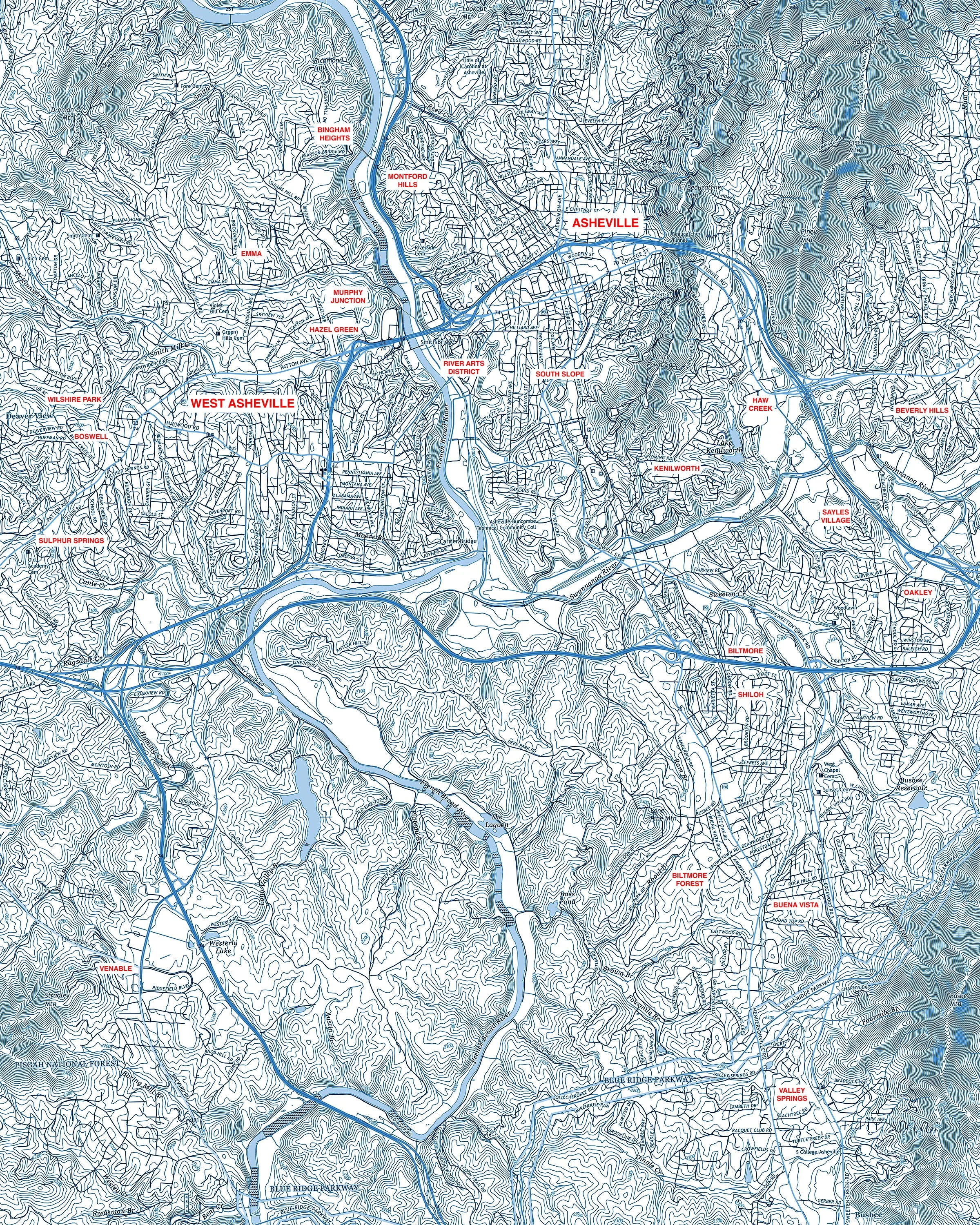 Image 2 of 2
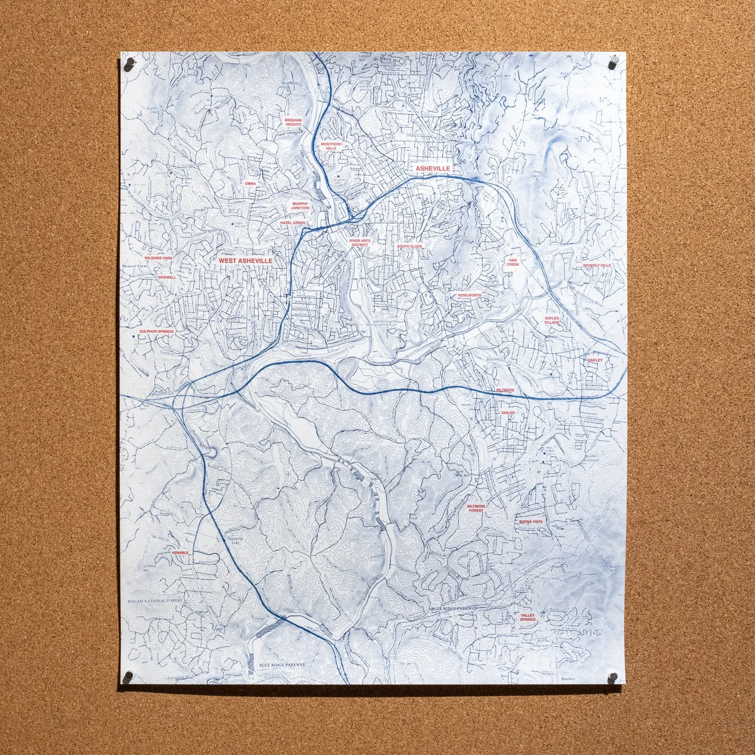
A BRBP original! This map focuses on the city of Asheville proper highlighting some of the historic neighborhoods. Details include street names, the French Broad River and connected creeks, and loads of topographic data. The Blue Ridge Parkway is located on the southern point of the map with Lookout Mountain at the north, Deaverview on the west and Beverly Hills/Oakley on the east. Each print is hand-coated and printed using the cyanotype and pigment print processes on archival watercolor paper. Available in 20” x 16” only.
A BRBP original! This map focuses on the city of Asheville proper highlighting some of the historic neighborhoods. Details include street names, the French Broad River and connected creeks, and loads of topographic data. The Blue Ridge Parkway is located on the southern point of the map with Lookout Mountain at the north, Deaverview on the west and Beverly Hills/Oakley on the east. Each print is hand-coated and printed using the cyanotype and pigment print processes on archival watercolor paper. Available in 20” x 16” only.